Exploring Mississauga Parks, Trails, And Neighbourhoods For Outdoor L
April 23, 2026
April 23, 2026
If outdoor access is high on your home search list, Mississauga gives you more options than many buyers realize. The city offers more than 500 parks and more than 390 kilometres of trails, which means your weekend routine can look very different depending on where you live. Whether you picture waterfront walks, quiet creek trails, or larger conservation spaces, this guide will help you explore how Mississauga’s outdoor lifestyle connects to different neighbourhoods. Let’s dive in.
Mississauga’s trail and park system is broad enough to support several styles of outdoor living. According to the City, the network includes waterfront, creek-valley, and urban multi-use routes that connect parks, neighbourhoods, and transit through the city’s park and trail system.
That matters when you are choosing where to live. Instead of thinking about outdoor access as one thing, it helps to think in three categories: waterfront living in the south, creek and ravine access through central areas, and larger park and conservation spaces in the north.
If you want shoreline views, paved lakeside paths, and quick access to beach areas or marinas, Mississauga’s southern neighbourhoods are the strongest fit. These areas offer some of the city’s most recognizable outdoor destinations.
Port Credit is one of the clearest examples of a waterfront-oriented lifestyle. The City notes that the Waterfront Trail runs through Port Credit Village, making it easy to connect lakeside walking and cycling with nearby shops, public spaces, and the broader shoreline trail system.
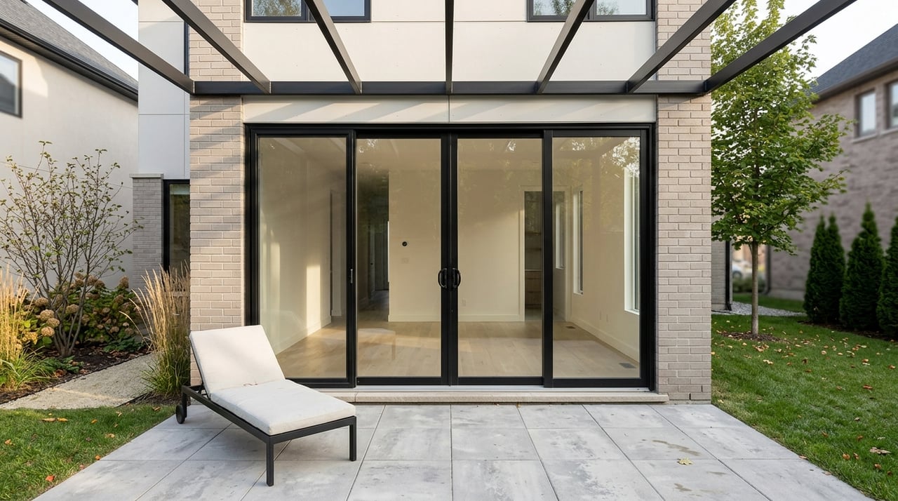
From a housing perspective, Port Credit reads as a low-rise mixed shoreline area. City planning materials describe a mix that can include detached homes, semi-detached homes, duplexes, triplexes, street townhomes, and other low-rise dwellings, while the area also includes heritage character such as Old Port Credit Village.
Transit is part of the appeal too. Port Credit GO includes MiWay connections and bike racks, and the City’s active transportation planning in the area is aimed at improving walking and cycling links between neighbourhoods, Memorial Park, Lakeshore Road, and the station.
If your idea of outdoor living includes both active park space and quieter nature walks, the west shore deserves a close look. Jack Darling Memorial Park includes waterfront access, picnic areas, tennis courts, a leash-free zone, a native tallgrass prairie, and a paved section of the Waterfront Trail.
From there, you can also reach trails in Rattray Marsh Conservation Area. The City describes Rattray Marsh as an environmentally sensitive wetland and one of the last remaining lakefront marshes between Toronto and Burlington, which gives this part of Mississauga a quieter, more natural feel than some of the busier waterfront parks.
The broader Clarkson-Lorne Park area is described in City planning documents as predominantly single-detached, with some semi-detached homes, townhouses, and apartments. For transit access, Clarkson GO offers MiWay connections and bike racks, which helps balance outdoor access with regional commuting options.
For a more beach-and-boating oriented waterfront experience, Lakeview is a strong area to explore. The City says Lakefront Promenade includes a waterfront pathway, sand beach, beach volleyball court, splash pad, playground, and nearby boating amenities through the marina, sailing club, and yacht club.
Nearby Lakeside Park adds more waterfront access, along with trails, a spray pad, a play structure, and a leash-free zone. On a broader level, Mississauga’s planning vision for Lakeview focuses on reconnecting the area to Lake Ontario, protecting public shoreline access, connecting neighbourhoods through parks and open spaces, and supporting a range of housing choices.
That makes Lakeview useful if you want outdoor access woven into a changing waterfront district. It is not just about one park. It is about a larger pattern of public open space, shoreline access, and walkable connections.
If you prefer a more tucked-away outdoor routine, central Mississauga offers creek corridors and valley trails that feel different from the waterfront. These routes often blend urban convenience with quieter green space.
Cooksville works well if you want outdoor access close to a more urban setting. The City’s trail guide says the Cooksville Creek Trail starts at Richard Jones Park and serves as a quieter escape near downtown Mississauga.
This area also stands out because outdoor access overlaps with transit access. Cooksville GO has MiWay connections and bike racks, while the City Centre Transit Terminal acts as Mississauga’s main transit hub and forms part of the Mississauga Transitway.
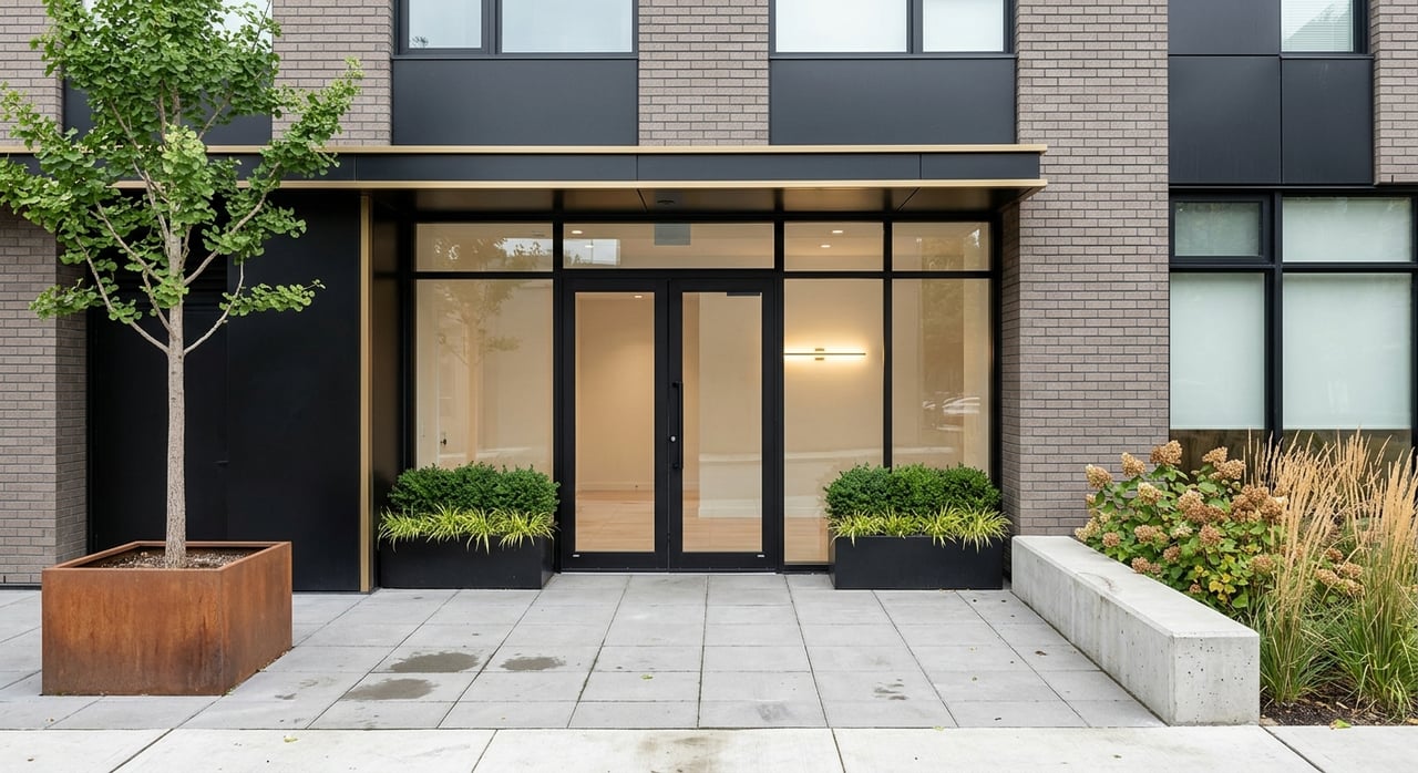
In terms of housing pattern, City materials describe Vision Cooksville as a future walkable urban community with a variety of housing forms. If you want a more urban home search but still care about parks and trail access, Cooksville is one of the most relevant areas to watch.
For buyers who want cycling routes and creek-valley trails, Erin Mills and nearby Erindale offer strong options. The City highlights Burnhamthorpe Trail as a route that allows bicycles on and off roads through both natural and urban settings, linking to other trails including Glen Erin Trail and Garnetwood Park.
The David J. Culham Trail is another key route here. It follows the Credit River through urban and natural settings, beginning at Erindale Park and connecting multiple green spaces.
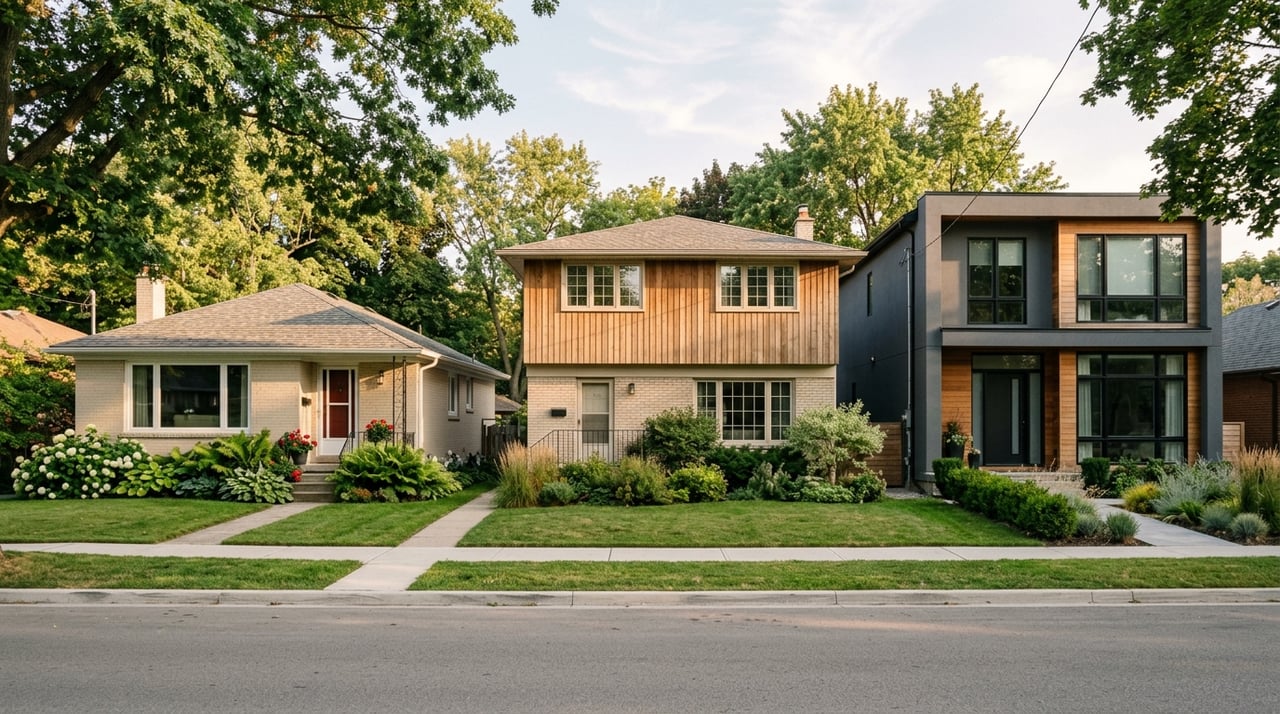
The broader Erin Mills area leans more suburban in built form, with planning material showing a pattern dominated by detached dwellings, followed by row housing and semi-detached homes, while apartments make up a smaller share. Erin Mills Station adds MiWay and GO connections through the Transitway network.
One practical note is worth keeping in mind. The City says part of the Sawmill Valley Trail remains closed at Burnhamthorpe Road, with a detour in place while repairs and stream work are reviewed, so it is smart to verify trail status before heading out.
For larger green spaces and a more park-and-conservation feel, Meadowvale is one of the strongest examples in the north end. This area is especially useful if you want everyday access to trails and natural settings without focusing on the waterfront.
The City identifies Meadowvale Conservation Area, Meadowvale Trail, Osprey Marsh, and Lake Aquitaine Trail as key outdoor spaces in this part of the city. Lake Aquitaine Trail is especially useful for everyday recreation because it connects through neighbourhoods and links schools and recreational facilities.
A City community ride description notes that Meadowvale runs along the Credit River and includes the conservation area along with two lakes. That combination gives the area a different outdoor identity than central or south Mississauga. It feels more focused on larger parkland systems and connected natural spaces.
Housing here is also more mixed than some buyers expect. The City’s Meadowvale neighbourhood study specifically focused on townhouse, apartment, and retail areas, which points to a broader residential mix rather than a single housing type. Meadowvale GO also provides MiWay connections and bike racks.
When you are comparing Mississauga neighbourhoods, it helps to match the outdoor experience you want with the area’s general built form and transit pattern. Here is a simple way to think about it:
You can also think about the type of home setting you prefer. Port Credit reads as a mixed low-rise shoreline area, Clarkson-Lorne Park is more established and detached-home heavy, Lakeview is planned around waterfront reconnection and a range of housing choices, Cooksville is more urban and mixed-use, Erin Mills leans suburban, and Meadowvale includes townhouse and apartment areas within a larger green-space setting.
Outdoor living is a real advantage in Mississauga, but it is still worth checking details before you head out for the day. A little planning can save you time and make the experience better.
Keep these points in mind:
If you are planning a move, these details matter for more than weekend outings. They shape your day-to-day lifestyle, from early morning walks to biking routes, commuting options, and how easily you can reach green space from home.
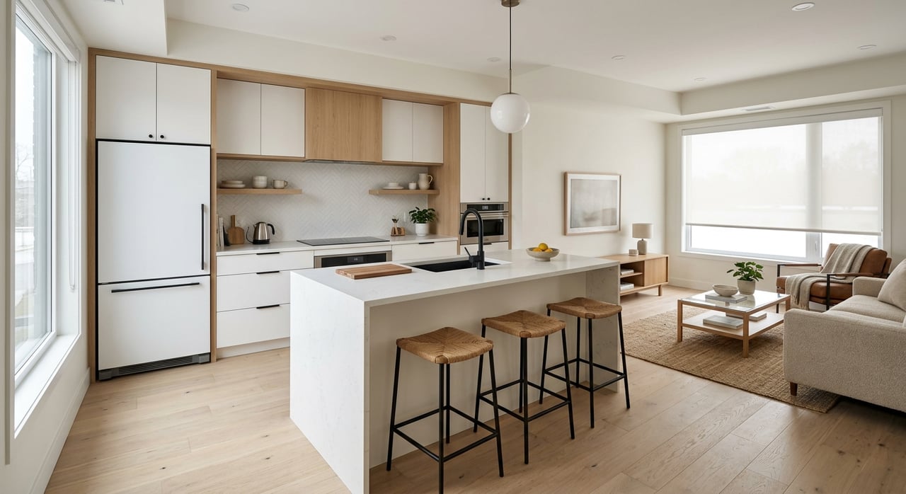
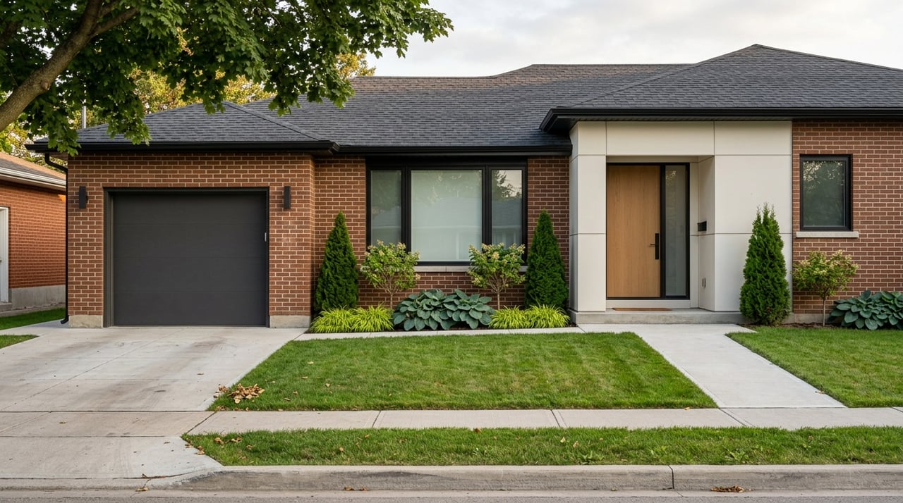
Outdoor access is not just a bonus feature. It can change how a neighbourhood feels and how you use your time. In Mississauga, the difference between a waterfront area, a creek corridor, and a conservation-focused neighbourhood is meaningful, especially if you are deciding between a condo, townhome, or detached home.
That is why it helps to look beyond listing photos and square footage. When you understand how parks, trails, housing patterns, and transit fit together, you can make a more confident decision about where you will actually enjoy living.
If you are comparing Mississauga neighbourhoods and want help narrowing down areas that fit your lifestyle, commute, and housing goals, connect with Team Durrani. We take a practical, detail-focused approach so you can move forward with clarity.
Stay up to date on the latest real estate trends.


Whether you're buying, selling, or investing, Team Durrani is ready to provide the expertise and dedication you deserve. Contact us today to begin a professional, transparent, and results-driven real estate journey.
Team Durrani
Address
17-1075 North Service Rd. W
Oakville, Ontario, L6M 2G2